QNL’s Christopher Alario investigates mysterious Qatar on historical maps
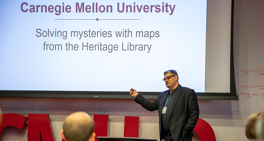
Christopher Alario traced the history of the Qatar peninsula on maps at a lecture at Carnegie Mellon University in Qatar. Alario is the information services librarian for historical maps at Qatar National Library.
“Historical maps are like time machines,” Alario said, “they tell you how our ancestors viewed the world.”
During his talk, Alario noted that Qatar has been a known place since the time of Ptolemy, nearly 2,000 years ago, and the presence of the peninsula was represented in maps from 1548 to 1596. Oddly, the Qatar peninsula—although not necessarily the towns and settlements—disappeared almost completely from maps until 1813.
Crucial to solving the mystery is to understand that the waters surrounding Qatar are dangerously shallow for sailing vessels.
Alario pointed out that in the 1500s, the Arabian Gulf was explored primarily by the Portuguese, and later by Dutch and British ships.
“The British and Dutch ships had a deep draft,” he said, “so they would have stayed far from the coastline so they wouldn’t run aground.” Alario believes at that distance, the peninsula would not have been visible. “The Portuguese caravels, however, had a shallower draft, and they were more inclined to use local craft.”
The maps from the 1500s appear to come from Portuguese sources, whereas later maps are derived from British and Dutch explorations, which may account for the disappearing peninsula.
Throughout his presentation, Alario referred to dozens of historical maps of the region. Most of these maps are in the Qatar National Library collection, and many are on permanent display at the library.
